
A week-long heat wave hit Indianapolis at the start of September, sending temperatures into the high 90s and hitting feels-like temperatures over 100 degrees. While this heat wave was four degrees off from record temperatures, it has been over 10 degrees warmer than the yearly averages.
Extreme heat can be deadly for people who are experiencing homelessness and those without proper access to cooling. Vulnerable groups like children, the elderly and those with pre-existing medical conditions have a heightened risk for heat-related illness.
Junior computer science major DJ Dorchack expressed distaste for the continued heat, saying that even his car wouldn’t drive right because it was so hot.
“It [has been] so hot out, especially for September,” Dorchack said. “The whole week it was best to stay inside.”
Professor Thomas Paradis began college as a meteorology major, and although he switched disciplines, he has always been interested in the weather. This led him to teach the Weather, Climate and Society Natural World course at the university — which has no traditional meteorology classes.
During the peak of the heatwave, he used National Weather Service (NWS) data to explain its significance.
“It is relatively common to have a heat wave in September — the northern hemisphere is still heated up,” Paradis said. “We hit 96 degrees, but the record [is] 100 in 1953. This is [still] a significant heat wave because the average maximum temperature for this time of year is around 83. So the fact that it was 96 [on Sept. 1] means we were 13 degrees above normal.”
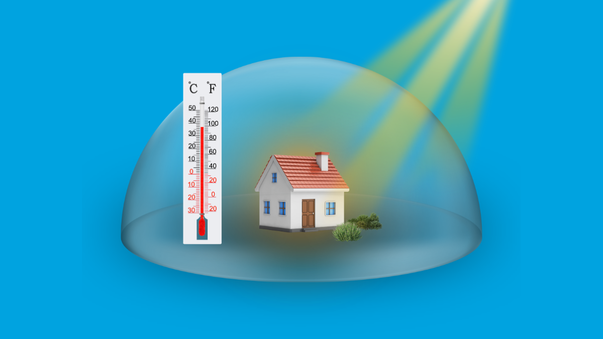
The sustained above-average heat occurred due to a phenomenon that is often referred to as a heat dome. This happens in the summer when high pressure pushes sinking air, making thunderstorms and rain unable to form. The sky is more likely to be cloudless under high pressure, letting the sun warm the Earth’s surface faster without intervention from storm clouds.
NWS senior meteorologist Mike Ryan provided insight into the weather patterns that led to the heat wave.
“In August, the [heat] was focused out to our west — [around] the Central Rockies,” Ryan said. “We were on the edge of that ridge of high pressure, so storms were moving around it, and the ridge is over us now. That’s why, if you look at the radar right now, all the storms have been up north of the Great Lakes because, again, we’re under that area of high pressure now, and it’s very, very hot.”
Ryan explained that the heat should once again shift west, but not until after over a week of hot, humid weather. He also emphasized the significance of the heatwave, with 2026 being the first year since 2012 with three days straight of over 95 degrees in early September.
As part of the NWS’s responsibilities, they work to inform central Indiana of the weather and potential advisories, like the heat advisory that has been in effect. These advisories, graphics and information are shared on their various social media platforms, as well as the NWS website.
The NWS works closely with city and county officials, and they coordinate with the Red Cross and other health organizations.
“Health has become a much bigger topic with weather, especially when it comes to things like this [heat],” Ryan said. “[We say], this is what we’re anticipating, and they can take that information and apply it to utilize cooling centers and other things like that.”
For people like the construction workers on campus, staying hydrated and taking breaks in air conditioning can help prevent heat-related illness. Those in Indianapolis who do not have access to air conditioning, cool water or are experiencing homelessness need to rely on assistance from health organizations like the Red Cross. However, in the wake of recent disastrous flooding, resources may be more limited.